Promoting sustainable management through the utilization of GIS and IoT.
We provide cutting-edge solutions through co-creation with global companies.
We provide one-stop support for GIS (geographic information system), which is increasingly used in map applications, IoT spatial information, which utilizes our extensive wireless and sensing technologies and know-how, and the security that supports these systems.
Improving productivity and profitability through Digital Transformation (DX) and digitalization.
Original Solutions
GIS (geographic information system)

Combining "maps" and "data" to visualize information assets and accelerate Digital Transformation (DX).
Contributing to business expansion and transformation with a wide range of service lineups through global alliances.
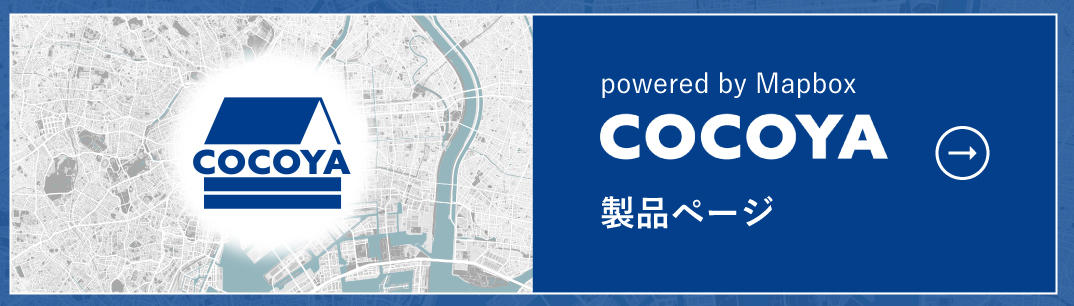
COCOYA
Store information mapping service
● Real-time mapping of store/facility information. Streamline management operations.
● SaaS type subscription service that does not require specialized skills or system maintenance.
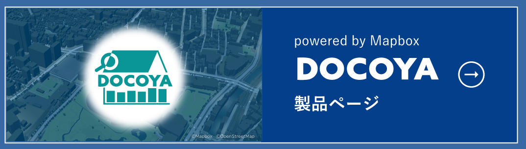
DOCOYA
SaaS-type commercial area analysis solution with AI functions
● High-level data analysis that crosses in-house data (stores, customers, etc.) with foot traffic data.
● Generated AI verbalizes the characteristics of the commercial area analysis results and recommends effective measures.
ArcGIS
Advanced analysis and simulation used by governments, universities, research institutes, etc.
● GIS engine from Esri, the US company that boasts the world's top share.
● Achieve business reforms with a rich product lineup, functions, and diverse system configurations.
mapbox
Development platform for digital maps with excellent visualization
● Customizable design to suit clients' needs. Promotes the use of location data.
● Uses map information from ZENRIN to achieve industry-leading map accuracy.

IoT spatial information

Manage the location and status of "people" and "goods" in real time. Providing "location data integration solution" that contribute to productivity improvement and business reform by visualizing the workplace.
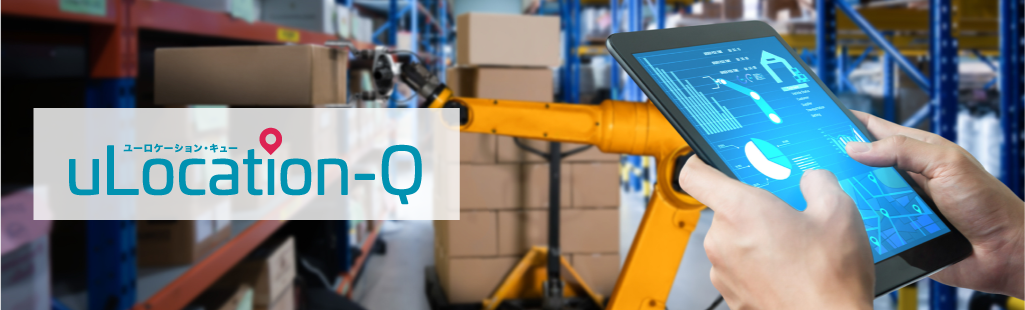
uLocation-Q
On-site management of factories and warehouses through the use of digital data
● Real-time detection of "who," "when," "where," and "which" is working.
● Contribute to smarter and more efficient operations by analyzing workers' flow lines, etc.
uS1GMA
Seamless visualization of indoor and outdoor location information
● Real-time location and condition data of "people" and "goods" are collected and stored.
● Visualization of on-site activities contributes to productivity improvement and cost reduction.

Security

From ICT system development to governance establishment, we provide total support for the advancement of security essential for digital transformation (DX) and digitization.
DX Security / Security Consulting

Security enhancement support services to realize safety and security.
● Abundant experience and know-how mainly in the field of social infrastructure systems
● Development and provision of ICT systems that contribute to cyber security measures for DX/IoT systems and digital data protection
● Establishment of security governance, including system design, establishment and operation of PDCA cycle, vulnerability assessment, etc.